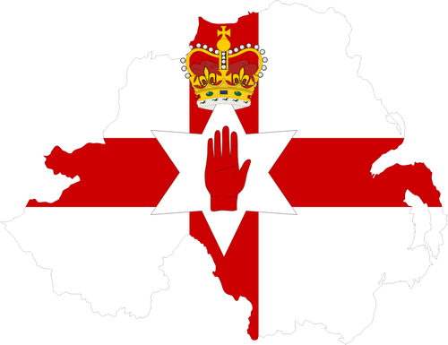
Download Clipart - Northern Ireland'S Map And Flag

This Clipart Image Northern Ireland'S Map And Flag is a part of Map Category in Symbols Gallery. It has a resolution of 500x385 pixels. Northern Ireland'S Map And Flag is in PNG format. Its size is 74.9KB. Northern Ireland'S Map And Flag is very suitable for designing purposes. Northern Ireland'S Map And Flag is related with various tags like europe, outline, country, nation, flag, northern ireland, borders, geography, Map. This Clipart has been downloaded 21 times. Download this here below:
Image Name: Northern Ireland'S Map And Flag
Image category: Symbols / Map
Size: 74.9KB
Date Added: 02-06-2022
Uploaded by: @William
Format: PNG
Downloads: 21
Views: 26
Resolution: 500x385
COLOR PALETTE
FAQ:
What is the size of Northern Ireland'S Map And Flag image file?
File size of Northern Ireland'S Map And Flag is 74.9KB.
Northern Ireland'S Map And Flag belongs to which category?
Northern Ireland'S Map And Flag belongs to Symbols and Map Categories.


